Right Here, Right Now
Interactive Geographic Data Visualization Tool
Project description
The application helps users make decisions about their travel plans throughout Chicago: after a user has selected his trip preferences, the app shows on the interactive map a set of suggested layers. At any time the user can also add/remove layers according to the real-time data he wants to see. All the data sources are shown with respect to a restricted area of the city, based on 2 different modes: rectangular selection and custom path.
Introductory Video
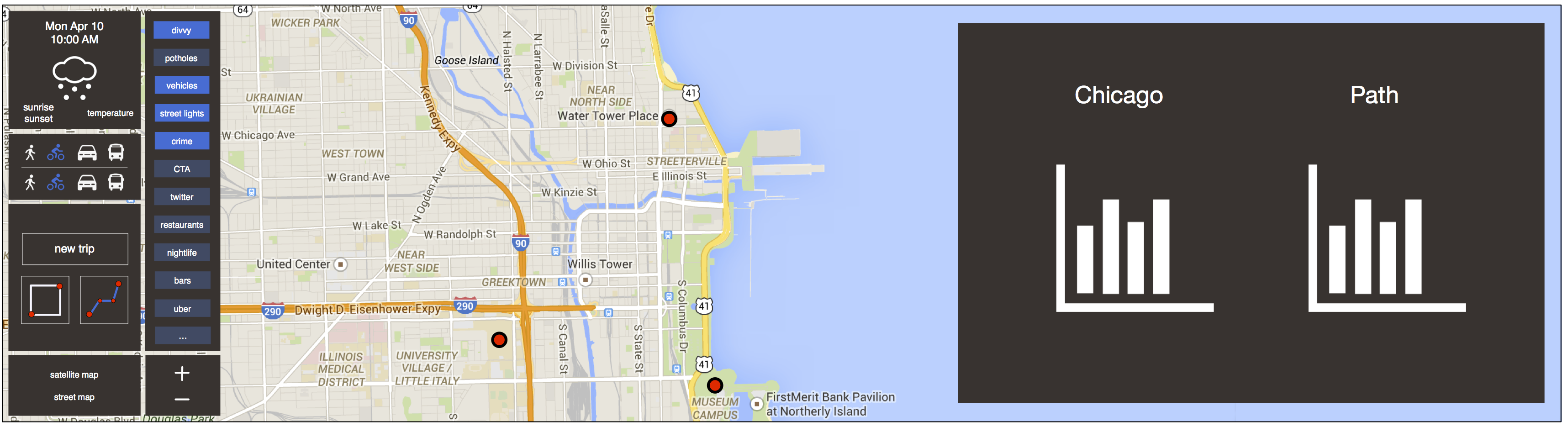
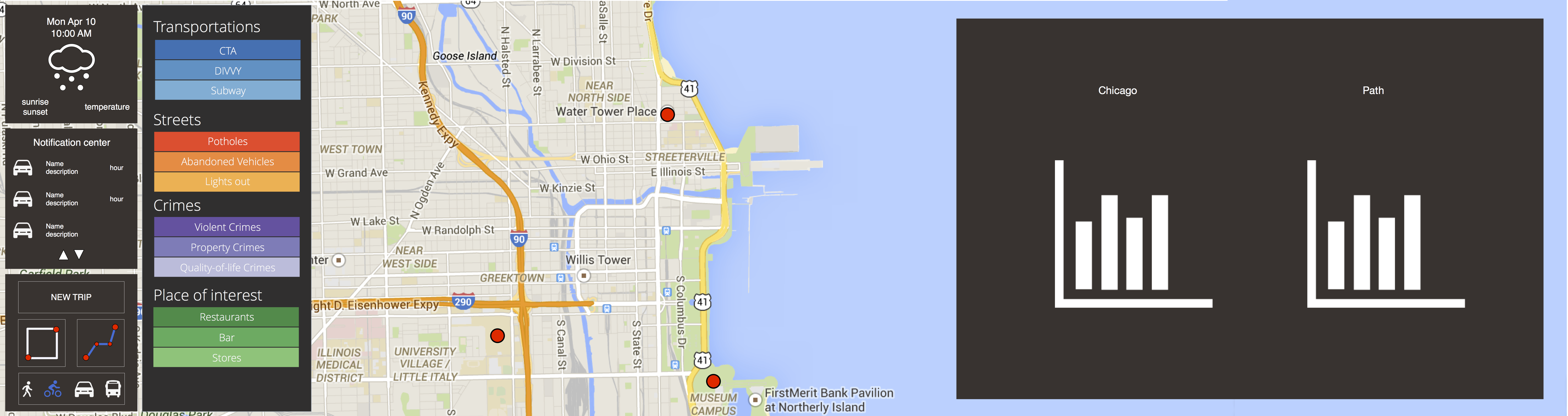
UI Mockups
The following pictures show various iterations for the definition of the design of the app.
The last one is a screenshot of the actual app at its final stage, to give an idea of the overall evolution of our concept and ideas throughout the project right to the final result.
UI Mockup (first iteration)
UI Mockup (second iteration)
UI Mockup (third iteration)
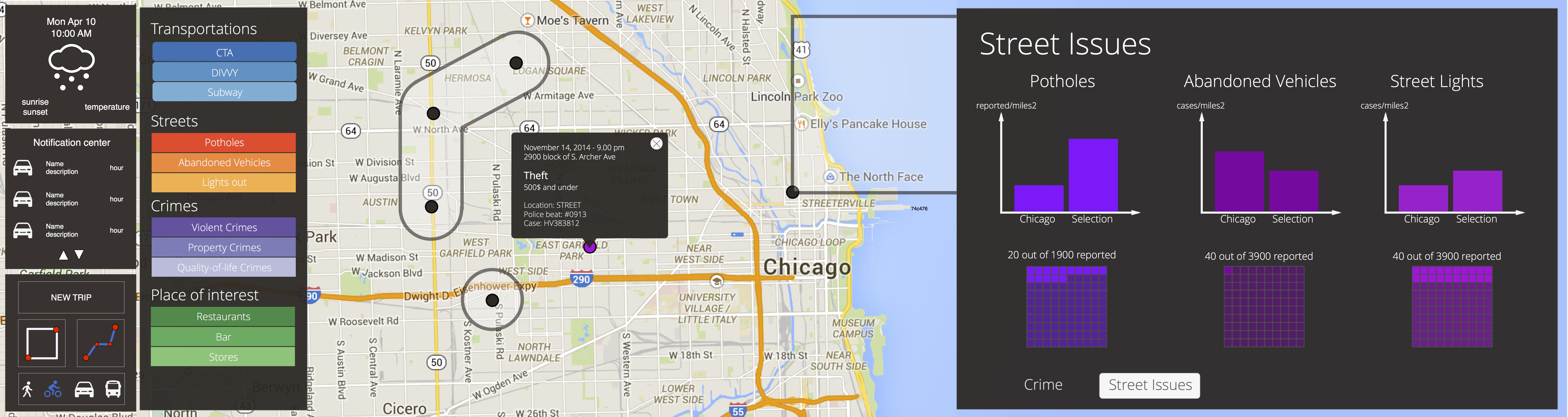
Screenshot of the final app
